About Beginning Point of the U.S. Public Land Survey
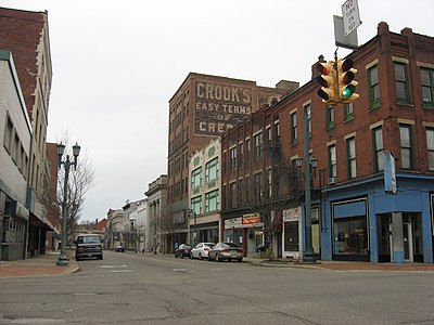
Historic Architecture, Architecture, Interesting Places, Other Buildings And Structures
The Beginning Point of the U.S. Public Land Survey is the point from which the United States in 1786 began the formal survey of the lands known then as the Northwest Territory, now making up all or part of Ohio, Indiana, Illinois, Michigan, and Wisconsin. The survey is claimed to be the first major cadastral survey undertaken by any nation. The point now lies underwater on the state line between Ohio and Pennsylvania. Because it is submerged, a monument commemorating the point is located on the state line between East Liverpool, Ohio and Ohioville, Pennsylvania, adjacent to the nearest roadway. The area around the marker was designated a National Historic Landmark in 1965.