About South Puyallup River Bridge
Bridges, Architecture, Interesting Places, Other Bridges
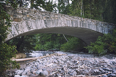
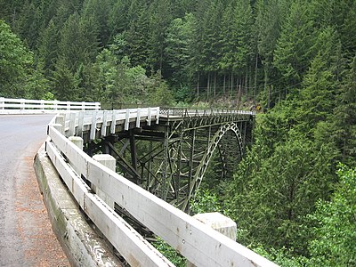
The South Puyallup River Bridge was built in 1930-31 in Mount Rainier National Park as part of the West Side Road project, planned to link the park's Nisqually and Carbon River entrances. The stone-faced reinforced concrete bridge was designed by the National Park Service and the Bureau of Public Roads. It spans 42 feet (13 m) and is almost 35 feet (11 m) wide, carrying two lanes of traffic.
The bridge was placed on the National Register of Historic Places on March 13, 1991. It is part of the Mount Rainier National Historic Landmark District, which encompasses the entire park and which recognizes the park's inventory of Park Service-designed rustic architecture.
Source From:
Wikipedia
Westside Road, Pierce County, Washington, United States of America, 98304